In today’s modern world, we have access to so much information about the world today. At the touch of a button we can get our hands on whole libraries and get the information we need. One thing that is quite useful today that we all use is a map. Can you imagine what like was like when we couldn’t just look up that hot new restaurant or the theater on our computers or smart phones? It’s a wonder we didn’t get lost all the time! One type of map that we may not think is very useful are terrain maps. Sure, it’s cool to look at mountains and rivers, but what do we use it for? If you’re driving around or navigating a new city, you most probably want a street map. However, don’t discount these terrain maps. They are quite useful in many ways.
Terrain maps
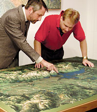
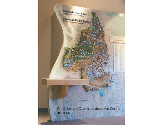
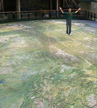
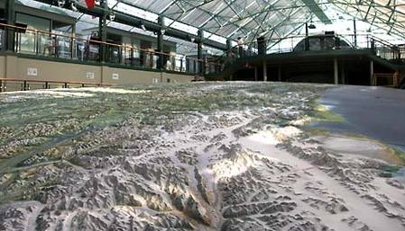
First, people who do a lot of hiking or going on trails can really use these types of maps. Often there aren’t very many online maps of trails, or sometimes most adventurers don’t really use any trails. In such cases, a terrain map is really useful. Hikers can plan out their routes since they know what to expect when it comes to the terrain they are hiking. Using these maps, they can map out the dangers and pitfalls they should avoid and which parts are safe to camp at. Next, they can be useful for educational purposes. Students can use them to learn about the different types of terrain today.

 RSS Feed